
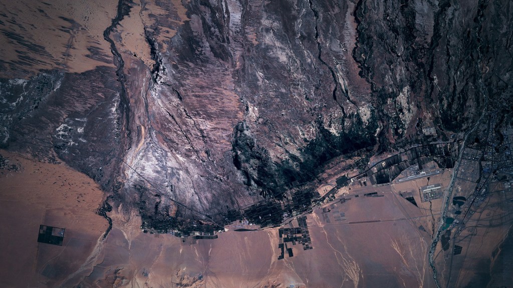

In April 2022, following a massacre of civilians in Moura, Mali, Russian, mercenary forces buried victims in mass graves and staged video footage to blame Western troops. Russian state accounts sought to establish narrative control immediately. This event created the operational blueprint for ongoing Russian Africa Corps expansion across the Sahel and hybrid maneuvers along NATO’s Eastern Flank. Local information channels remained contested, but commercial satellite imagery provided the physical baseline that anchored local reports and open-source data. By capturing broad physical ground changes, large-scale soil disturbances, and vehicle staging areas, unclassified satellite passes provided physical evidence at international bodies and the United Nations Security Council, neutralizing diplomatic cover-up attempts.
The Moura blueprint highlights a structural tension across US European Command and US Africa Command. Collecting intelligence on national sensors creates processing bottlenecks, stretching disclosure timelines across multiple days while Foreign Disclosure Representatives scrub products to protect sensitive sources and methods. National security satellites were engineered for high-resolution tactical collection rather than continuous broad area monitoring. Trying to use exquisite national systems for persistent coverage strains collection management and creates delays that cede narrative initiative to opposing forces during gray-zone escalations.
Tasking-dependent commercial constellations require analysts to know where to look before submitting a collection order, leaving un-tasked regions unmonitored. In contrast, Planet’s non-tasked, always-on Dove constellation continuously indexes the global landmass near-daily at three-meter resolution. This continuous baseline captures un-tasked terrain automatically, turning unmonitored areas into tripwires across millions of square kilometers. Offloading broad area monitoring to Planet’s commercial, non-tasked global scan – called PlanetScope – compresses intelligence delivery timelines from days to hours. This allows national sensors and high-resolution commercial providers to remain focused on tactical tip-and-cue targeting while PlanetScope satisfies continuous coalition baseline needs.
Validated alerts transfer as lightweight vector data using Open Geospatial Consortium web services or Cursor-on-Target payloads. These formats integrate directly into partner geographic information systems and unclassified Common Operating Pictures. For NATO allies, data transfers directly into established coalition networks like CENTRIXS or NATO BICES. For non-NATO African partners operating outside classified networks, vector feeds route through web-based commercial application programming interfaces directly into theater command dashboards. Adopting PlanetScope’s non-tasked global imagery as the foundational baseline for theater monitoring resolves processing bottlenecks, legal licensing rules, and delivery speed. Combining daily global persistence with vendor-managed validation and open data standards gives regional commands the capability to counter diplomatic disinformation, maintain coalition alignment, and fill persistent coverage gaps during continuous competition.